Hiking Near Me: 7 Minocqua and Lake Tomahawk Trails
Hiking near me in Minocqua? Compare 7 trails around Lake Tomahawk by mileage, surface, and effort, with parking and seasonal tips for cabin guests.
The best hiking near Minocqua and Lake Tomahawk starts with seven routes: Lake Tom Link, Clear Lake Trail, McNaughton Trail, Bearskin State Trail, Raven Trails, Fallison Lake Nature Trails, and Minocqua Winter Park. Short easy walks run about 1 to 2 miles, while the longest connected options stretch past 20. Clear Trail Properties built this guide for cabin guests who want a trail plan before they unpack.
Key Takeaways
- Lake Tom Link is a 1.7-mile railbed trail that starts at the Lake Tomahawk town parking lot kiosk and runs north to Gritzmachen Road, making it the quickest option from a Lake Tomahawk cabin.
- Clear Lake Trail is a paved, forested 5.5-mile route ending at Highway J in Woodruff, which suits strollers and mixed-ability groups better than dirt trails do.
- Bearskin State Trail mileage differs by source: 21.5 miles on Minocqua.org, 18 miles in a local lodging guide. Some sources count it together with the 6-mile Hiawatha Trail.
- Raven Trails offer loops of 1.5, 2.5, 3.5, and 5 miles, so you can scale a hike to the time you have.
- Wisconsin recorded 117.9 million tourism visits in 2026 according to the Wisconsin Department of Tourism, so summer weekends bring company on the popular trails.
- Fees, dog rules, and conditions change, so confirm them with the Wisconsin DNR or the trail managers before you go.
Hiking near me searches from a rental cabin tend to have a practical bent. You want a trail that fits your hours and your group, and the weather outside the window matters too. Mileage alone does not answer that, and the pages that rank for these searches rarely compare routes on a consistent basis.
This guide ranks seven trails by what cabin guests tend to need: access from Lake Tomahawk or Minocqua, surface, and honest downsides. Distances come from the Minocqua Area Visitors Bureau, the Town of Lake Tomahawk, Travel Wisconsin, and local lodging guides. Where those sources disagree, the conflict is called out rather than hidden.
Trail conditions shift with rain, snowmelt, and hunting seasons, so verify current status on the official pages linked below. The hiking times here are my own planning guesses, not sourced figures. A steady pace on flat ground is often 2 to 3 miles per hour, and photo stops or kids will slow that.
How Do These Seven Trails Compare at a Glance?
A trail comparison table is a side-by-side summary of distance, surface, effort, and best use for each route. The table below uses only mileage figures published by local sources, and time estimates are rough planning numbers for a relaxed pace, not official figures.
| Trail | Published distance | Surface and terrain | Effort | Rough time | Best for |
|---|---|---|---|---|---|
| Lake Tom Link | 1.7 miles | Former railbed | Easy | 45 to 60 minutes one way | Quick outings from Lake Tomahawk |
| Clear Lake Trail | 5.5 miles | Paved, forested | Easy | 2 to 3 hours one way | Strollers, mixed ages |
| McNaughton Trail | Varies by route | Multi-use trail near three lakes | Easy to moderate | Plan 1 to 2 hours | Lake views, shoulder seasons |
| Bearskin State Trail | 18 to 21.5 miles, by source | Crushed pink granite, trestles | Easy but long | Pick a section | Out-and-back stretches |
| Raven Trails | Loops of 1.5 to 5 miles | Wooded loops | Easy to moderate | 1 to 3 hours | Choosing your own distance |
| Fallison Lake Nature Trails | 2.5-mile longest loop | Forest and bog boardwalks | Easy | 1 to 1.5 hours | Habitat variety, nature center |
| Minocqua Winter Park | Loops of 1 to 5 miles | Forest loops, overlook | Easy to moderate | 1 to 3 hours | Summer hikes with a view |
As the table shows, only two options need a half day. The rest fit before lunch or after a morning on the water.
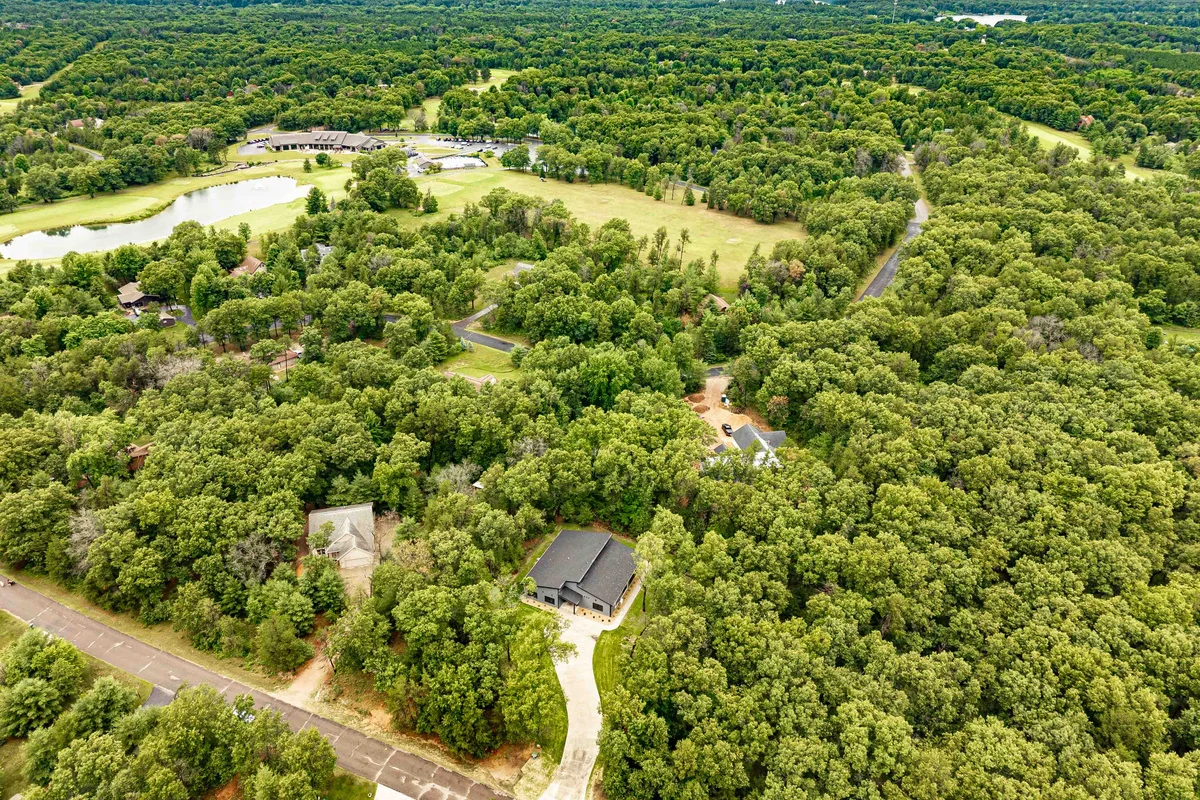
Escape to a private wooded setting with sweeping aerial views and nature all around. · Tomahawk Trail
What Are the 7 Best Trails Around Minocqua and Lake Tomahawk?
The seven best trails around Minocqua and Lake Tomahawk are the routes below, ordered by how easily you can reach them from a Lake Tomahawk or Minocqua cabin and how much time they demand. Each entry lists the access point, the surface, an honest downside, and who it suits best.
1. Lake Tom Link
Lake Tom Link is a 1.7-mile walking and biking trail on an old railbed, beginning at a kiosk in the Town of Lake Tomahawk parking lot and running north to Gritzmachen Road. A railbed means a gentle, even grade with no real climbing, so it suits nearly everyone.
Best for: a first-morning leg stretch from a Lake Tomahawk cabin. The downside: at 1.7 miles one way it is short, and you share it with bikes. Pair it with the Clear Lake Trail below if you want a bigger day.
2. Clear Lake Trail
Clear Lake Trail is a paved, forested 5.5-mile route that ends at Highway J in Woodruff, and Lake Tom Link connects to it. The Town of Lake Tomahawk trail page is the place to confirm current route details.
Best for: strollers, grandparents, and anyone who wants a smooth surface after rain. The downside: pavement is harder on knees than dirt, and the walk is linear, so you either arrange a pickup in Woodruff or walk it back out.
3. McNaughton Trail
McNaughton Trail sits just south of Lake Tomahawk and is open to hikers, bikers, and cross-country skiers. Oneida County describes views of McNaughton, Hawk, and Helen Lakes along the way, which makes it a good pick when you want water in the frame without a long drive.
I could not verify a single published mileage for McNaughton Trail, which is why the table says "varies by route." The Minocqua.org trail guide notes that combining the blue and red routes in a related lake-view network creates a hike of nearly 9 miles, so check which segment you are on before you commit to that length. The downside: multi-use trails mean you will share the path, and route marking varies, so carry a map or download one offline.
4. Bearskin State Trail
Bearskin State Trail is a state-managed rail-trail that follows Bearskin Creek between Minocqua and Tomahawk. A local lodging guide describes a crushed pink granite surface and 13 trestles crossing lakes and streams, with a north trailhead in Minocqua.
Mileage depends on who you ask. Minocqua.org lists 21.5 miles, a lodging guide says 18, and some sources fold in the 6-mile Hiawatha Trail, which lies on another segment of the same rail bed. Treat the longer figure as a connected route, and verify details on the Wisconsin Department of Natural Resources page, including any pass requirement.
Best for: an out-and-back stretch from the Minocqua trailhead, turning around when the group is ready. The downside: nobody hikes all of it in a day, and the corridor is shared with bikes and, in winter, sleds.
5. Raven Trails
Raven Trails are a network of wooded loops of 1.5, 2.5, 3.5, and 5 miles off Woodruff Road in Minocqua. Travel Wisconsin describes the Raven Trail Nature Loop as an easy 1.4-mile loop inside a 13.5-mile hiking and mountain-biking network with lakeside views. The Raven Trails page on Minocqua.org is the best place to check current conditions.
Best for: groups with mixed energy levels, since you can pick the loop at the trailhead. The downside: the network is bike-friendly, so keep an ear out on busy summer weekends.
6. Fallison Lake Nature Trails
Fallison Lake Nature Trails are loops around a 50-acre lake, located 2.3 miles east of Highway M on Highway N. The longest loop runs about 2.5 miles through mixed conifer and hardwood forest, including balsam fir, hemlock, red and white pine, sugar maple, birch, and aspen. Boardwalks cross bogs, and a nature center sits nearby. See the official Fallison Lake page before heading out.
This is the trail to choose for variety within a short distance, since the habitat changes from bog to hardwood in one loop. The downside: boardwalk sections can be slick when wet, and bogs mean mosquitoes in warm months, so pack repellent.
7. Minocqua Winter Park
Minocqua Winter Park offers summer hiking on loops of roughly 1 to 5 miles, and Travel Wisconsin recommends the Squirrel Hill Overlook. I could not confirm individual loop lengths, so check the park's hiking page for the loop map. It is the pick when you want a view rather than a flat railbed walk.
Best for: a half-day hike with a payoff stop. The downside: it has more elevation change than the railbed options, so it is a poor fit for strollers or anyone nervous about hills.
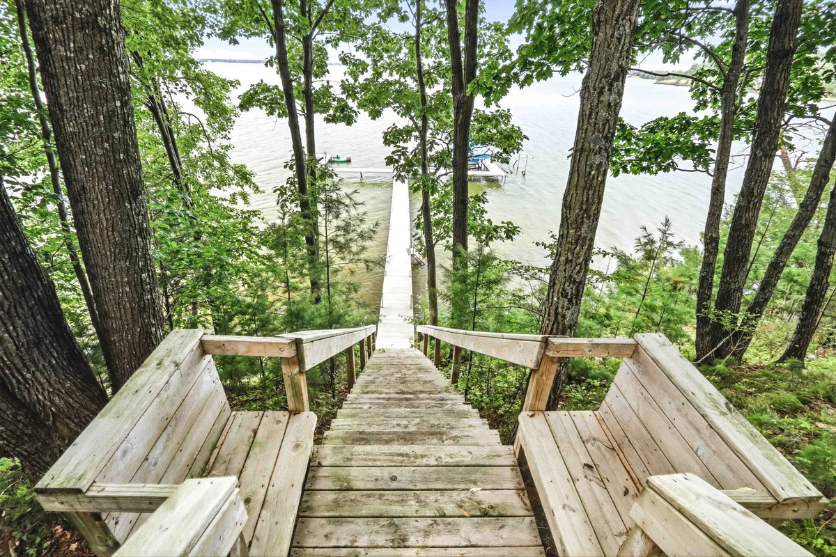
Stroll down a beautifully shaded canopy path that leads straight from your back door to the water's edge. Perfectly integrated into the natural hillside, this rustic approach builds anticipation for long, sun-filled lake days and peaceful twilight strolls. · Animal Kingdom
Which Hiking Near Me Pick Fits Your Cabin Weekend?
Choosing a trail means matching your hours, your group, and the surface you can handle. Start with time, because mileage is only meaningful against a clock.
For a 60-minute window, choose Lake Tom Link or the shortest Raven loop. For a morning, pick Fallison Lake, a mid-length Raven loop, or a Winter Park loop with the overlook. For a full day, plan a section of Bearskin or pair Lake Tom Link with Clear Lake Trail and arrange a ride back.
Best Picks by Group Type
Families with strollers: Clear Lake Trail, because the paved surface holds up in any weather. Toddlers and short legs: the 1.4-mile Raven nature loop. Photographers: Fallison Lake for boardwalks and bog light. Fitness hikers: Winter Park loops or a long Bearskin stretch.
Skip any trail with a long trailhead drive if your cabin sits in Lake Tomahawk and the group is already restless. A short walk you finish beats an ambitious hike you abandon.
How Much Do Parking, Fees, and Dog Rules Matter on Northwoods Trails?
Trail access rules are the practical conditions that govern parking, permits, leashes, and facilities, and they vary by trail manager. The research behind this guide did not verify street addresses for trailhead parking, current fees, restroom availability, or dog policies for every route, so check each trail's page before you leave the cabin.
Here is what is solid. Lake Tom Link starts at a kiosk in the town parking lot. Raven Trails sit on Woodruff Road in Minocqua. Fallison Lake is reached from Highway N. Bearskin is a state-managed trail, so the Wisconsin DNR page is the authority on passes and rules. The Northern Highland-American Legion State Forest page covers forest recreation and access for routes that run through it.
A Short Pre-Hike Checklist
- Confirm the trail page lists the trail as open and note any pass requirement.
- Check leash rules if your dog is coming along.
- Look up hunting seasons and wear bright colors in fall.
- Download an offline map, because cell coverage can drop in the woods.
- Carry water and repellent; boardwalks and bogs mean bugs from late spring through summer.
Accessibility deserves a direct answer: paved Clear Lake Trail segments and railbed surfaces like Lake Tom Link are your best bets for strollers and mobility aids, but confirm surface condition with the manager, since conditions change after storms.
When Is the Best Season for Trail Walking Around Minocqua?
Northwoods trail season is the stretch from snowmelt through fall color, with each month favoring different surfaces. Late spring brings wet ground and insects, summer delivers the longest days, and fall offers cooler hiking with color through the pines and maples.
Surface matters more than the calendar. After a heavy rain, choose the paved Clear Lake Trail or the packed railbed of Lake Tom Link over boardwalk-heavy Fallison Lake or soft dirt loops. In winter, many of these corridors serve skiers and snowmobile riders, so a summer hiking plan does not transfer, and you should check the trail manager before walking a groomed route.
Crowds follow the calendar too. Wisconsin tourism reached a record 117.9 million visits in 2026, according to the Wisconsin Department of Tourism, and midsummer weekends feel it. Go early on a Saturday or choose a weekday and you will often have a loop mostly to yourself.
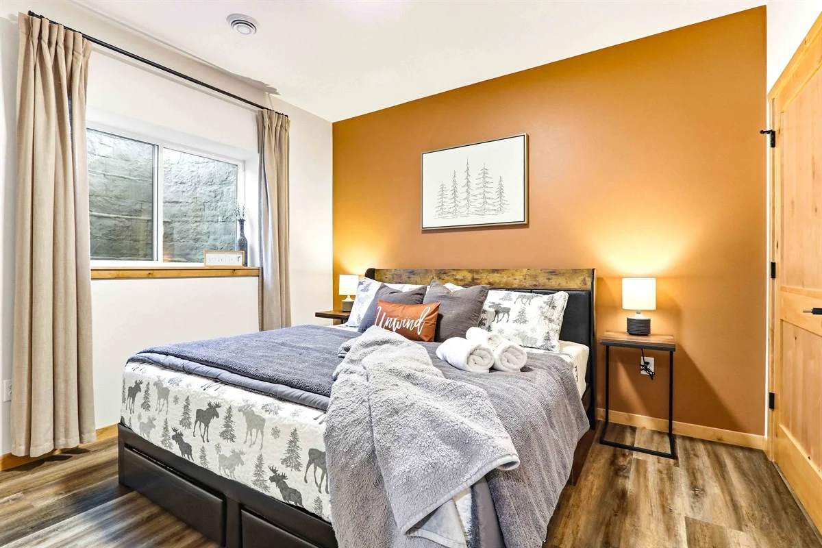
Your natural light, wood floors, moose-print bedding, and a window you'll actually want open. Quiet, comfortable queen bedroom with storage in the open closet. · Birdie Bunkhouse
What Do You Need to Know About Mileage Conflicts and Connected Routes?
Trail mileage conflicts are discrepancies between published distances for the same route, and they usually come from counting connected trails or different endpoints. The Bearskin State Trail is the clearest example in this area.
Minocqua.org gives Bearskin as 21.5 miles between Minocqua and Tomahawk. A local lodging guide says 18 miles. Combined figures that add the 6-mile Hiawatha Trail push the total higher still. None of these numbers should worry you, because almost nobody walks the full length in a day. Plan by trailhead and turnaround point, not by the headline mileage.
The same logic applies to Lake Tom Link and Clear Lake Trail. Lake Tom Link is 1.7 miles on its own, and it connects to the 5.5-mile Clear Lake Trail, so a combined walk is longer than either number alone. Write down your start, your turnaround, and the total before you set out.
Where Should Cabin Guests Stay to Hike These Trails?
A trail-ready cabin has a place to dry boots, a kitchen for trail lunches, and a fire pit for the evening. Clear Trail Properties works with a local team in Minocqua, and many guests tell us the best trail days start with a real breakfast and end by a fire.
If you are also considering a Central Wisconsin trip, several Clear Trail Properties cabins list hiking trails among their amenities, including Wildwood Retreat, which sleeps 12 on a wooded property, and Westwind Pines, an A-frame that also sleeps 12. Pickles Cabin suits two couples or a small family looking for quiet. Browse the full portfolio and confirm current rates and availability on each live booking page, since pricing changes.
For the Northwoods, plan your hikes first, then pick the cabin whose location shortens your drive to the trailheads you prefer.
Frequently Asked Questions
What hiking trails are near Minocqua, Wisconsin?
Trails near Minocqua include Bearskin State Trail, Raven Trails, Fallison Lake Nature Trails, and Minocqua Winter Park. Near Lake Tomahawk, you will find Lake Tom Link, Clear Lake Trail, and McNaughton Trail. Loops range from about 1 mile to routes that stretch past 20 miles when connected.
What are the best scenic hikes near Minocqua?
For lake views, McNaughton Trail offers views of McNaughton, Hawk, and Helen Lakes. For an overlook, Minocqua Winter Park recommends Squirrel Hill Overlook. For forest and bog scenery, Fallison Lake's loop crosses boardwalks through mixed conifer and hardwood stands.
Do Minocqua hiking trails require parking or trail fees?
It depends on the trail manager. Lake Tom Link starts at the town parking lot kiosk, and Bearskin is state-managed, so check the Wisconsin DNR page for any pass requirement. Fees and rules change, so confirm with each official trail page before your visit.
What is the Bearskin State Trail like?
Bearskin State Trail follows Bearskin Creek between Minocqua and Tomahawk on a former rail bed. A local lodging guide describes crushed pink granite and 13 trestles over lakes and streams. Published length varies from 18 to 21.5 miles, and it connects with the 6-mile Hiawatha Trail.
What are the easiest hikes near Minocqua for beginners?
The easiest options are Lake Tom Link at 1.7 miles, the paved Clear Lake Trail, and the 1.4-mile Raven Trail Nature Loop. Fallison Lake's loops are also gentle, though boardwalks can be slick when wet. All suit families with young kids.
Where can I find a cabin near these trails?
Clear Trail Properties manages cabins and lake homes across Central Wisconsin and the Northwoods, with a local team in Minocqua. Check each property's live booking page for availability and rates, and ask about the closest trailheads when you reach out.
Conclusion: Which Trail Should You Hike First?
If you only have time for one hike, start with Lake Tom Link and add the Clear Lake Trail if the day cooperates. For a longer outing, pick a section of Bearskin State Trail and turn around when the group is ready. When searching hiking near me in the Northwoods, the best trail matches your clock, your crew, and the weather, and the official pages linked above keep your information current.
As 2026 trail season approaches, check the Wisconsin DNR and trail manager pages for conditions and then lace up.
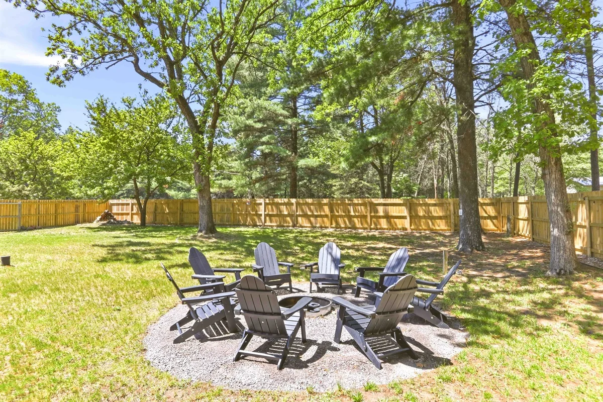
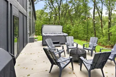
Make the most of every season with a private outdoor lounge perfect for fireside chats, s’mores, and relaxing in nature. · Wildwood Retreat
Planning a trail trip and want a cabin that fits? Get started with Clear Trail Properties, where our local teams and a growing portfolio across Wisconsin and Northern Michigan can help you find a base for your next hike.
Written by Ashley Lang, Owner, CEO at Clear Trail Properties